
This multidisciplinary project by the Harte Research Institute, sponsored by a major grant from the Houston Endowment, aims to provide Texans the information they need to be able to understand and adapt to higher sea levels within 50 to 100 years.
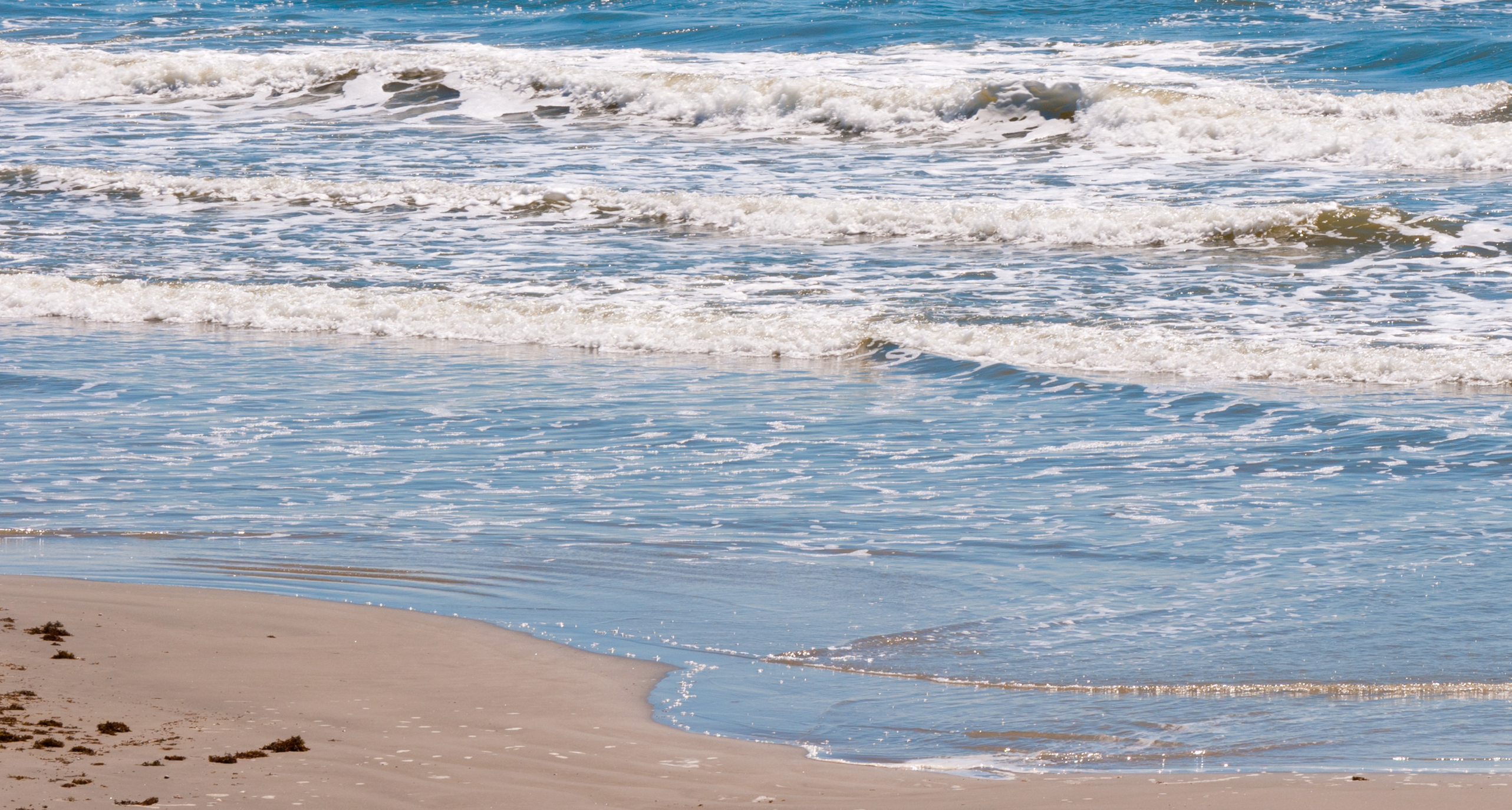
Coastal communities around the world are looking for strategies to prepare for the impacts of global climate change, including sea level rise and increased coastal storm surge. For low-lying coastal zones like that of the Upper Texas Coast, the cost could be substantial.
This interactive website provides tools to evaluate the environmental, socio-economic, and legal aspects of sea level rise on our community using a series of story maps to explore each topic in depth. These storymaps include text, photos, and maps to guide you, along with downloads of data for you to explore on your own. What changes could occur to the Upper Texas Coast as a result of 2.5 feet of sea level rise, and what legal options do we have to prepare? Explore the links below to find out!


THIS PROJECT
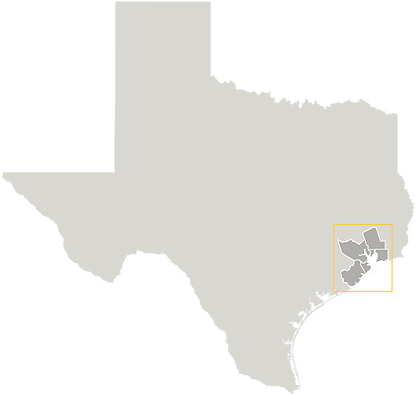
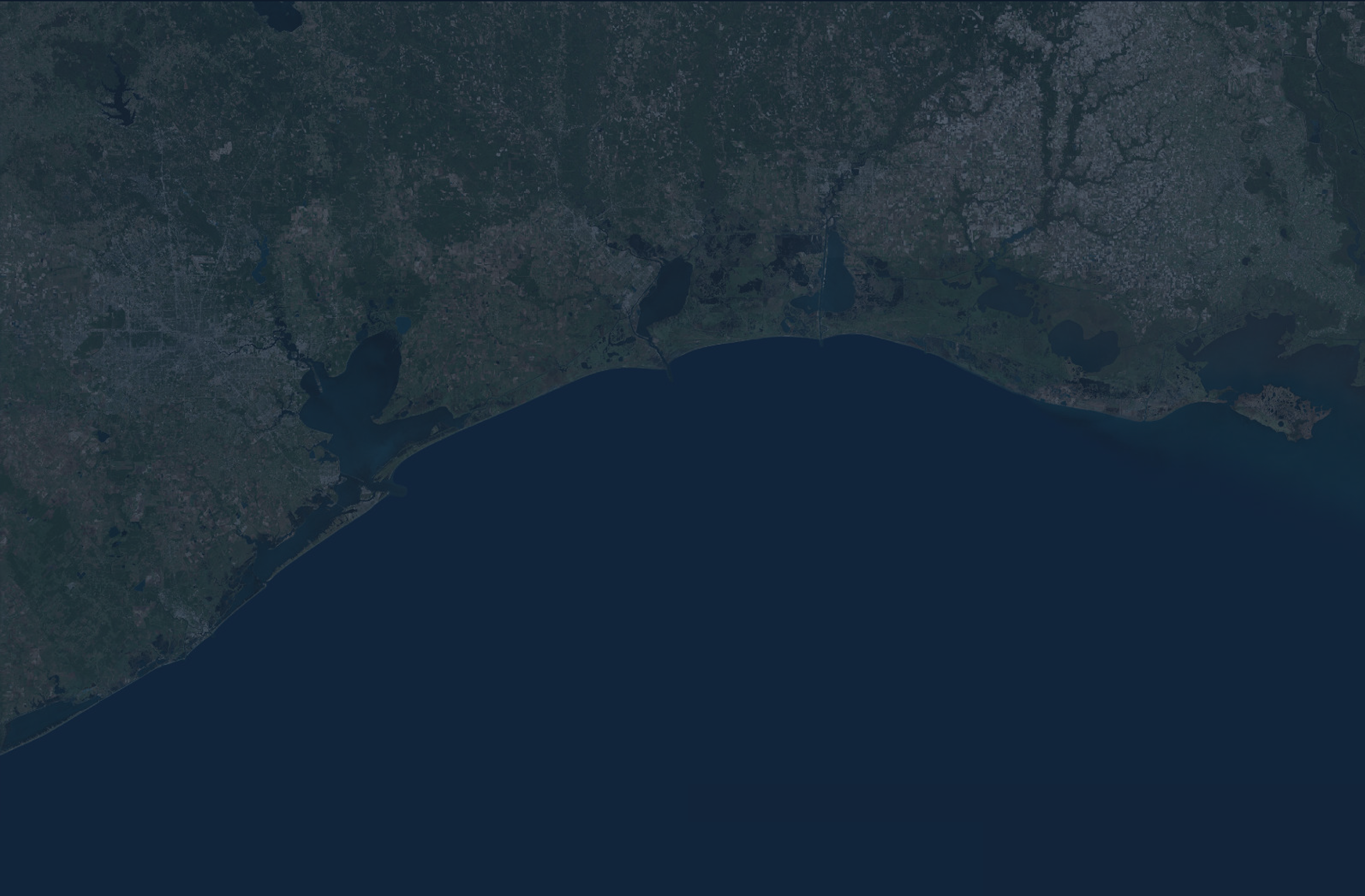
This project explores the many effects of sea level rise on the five coastal counties surrounding Galveston Bay: Harris, Brazoria, Galveston, Chambers, and Liberty counties. Major cities included in our analysis are Houston, Texas City, and Galveston - all of which are major hubs both regionally and nationally.

DISCOVER THE IMPACTS
Living with Sea Level Rise on the Upper Texas Coast
A HARTE RESEARCH INSTITUTE PROJECT
HARTE RESEARCH
This interactive website provides tools to evaluate the environmental, socio-economic, and legal aspects of sea level rise on our community using a series of story maps to explore each topic in depth. These storymaps include text, photos, and maps to guide you, along with downloads of data for you to explore on your own. What changes could occur to the Upper Texas Coast as a result of 2.5 feet of sea level rise, and what legal options do we have to prepare? Explore the links below to find out!


THIS PROJECT
This project explores the many effects of sea level rise on the five coastal counties surrounding Galveston Bay: Harris, Brazoria, Galveston, Chambers, and Liberty counties. Major cities included in our analysis are Houston, Texas City, and Galveston - all of which are major hubs both regionally and nationally.
DISCOVER THE IMPACTS
Living with Sea Level Rise on the Upper Texas Coast
A HARTE RESEARCH INSTITUTE PROJECT
HARTE RESEARCH
INSTITUTE
Phone
Website
Address
(361) 825-2000
www.harteresearchinstitute.org
6300 Ocean Drive, Unit 5869
Corpus Christi, Texas 78412
TEXAS A&M UNIVERSITY - CORPUS CHRISTI
CONTACT US
THE STORYMAPS
The Introduction to this series describes the Upper Texas Coast, the importance of the Houston-Galveston region, and the process of sea level rise. Why is the region vulnerable, and why should we care?
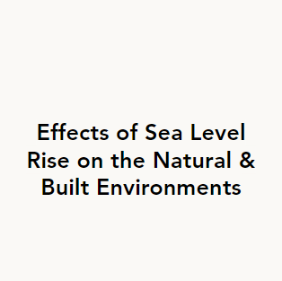
The Effect of Sea Level Rise on the Natural & Built Environments explains the importance and value of the many environments in this region. How will habitats and developed area be affected by sea level rise? Will we lose marshes and agricultural lands, and what are the consequences of these changes?
The Socio-Economic Effects of Sea Level Rise & Storm Surge explores the impacts of increased storm surges due to sea level rise. How many people will be displaced? What facilities will be affected? What will the cost of damages be?
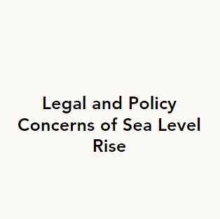
Legal & Policy Concerns explains state laws that deal with beach management issues, and it describes projects and adaptation strategies for dealing with sea level rise. You can also find a summary document of this content here. How can we legally adapt to these changing conditions as a society?
Hurricane Ike & Sea Level Rise shows what that storm could have looked like with sea level rise. Ike, which hit the Houston-Galveston region in 2008, is one of the country’s costliest natural disasters. What would the same storm look like on top of higher sea levels? How much higher could the storm surge have been?
The stories in this series do not have to be read and explored in order. Jump around to whatever interests you!
DOWNLOAD & EXPLORE OUR DATA
Are you interested in downloading our data, including maps and reports? Check out the Map Gallery. All outputs including land cover, socio-economic data, and storm surge inundation before and after sea level rise are available for viewing and download.
If you don't want to download files but would like to explore the layers on your own, you can also display map layers to interactively explore them without having to download anything. .